Mongmasanseong Fortress, Changnyeong
昌寧 牧馬山城
경상남도 창녕군
Basic information
- Designation
- Historic Site No.65
- Category
- Sites & Pagodas
- Era
- 삼국시대
- Designated year
- 1963
- Location
- 창녕군, 경상남도— 경남 창녕군 창녕읍 송현리 산5-2번지
- Coordinates
- 35.544050, 128.509042
AI Docent
Coming soonAn AI-generated, friendly retelling of this heritage site is available in Korean. An English version is on our roadmap — for now, please see the official description below.
Description
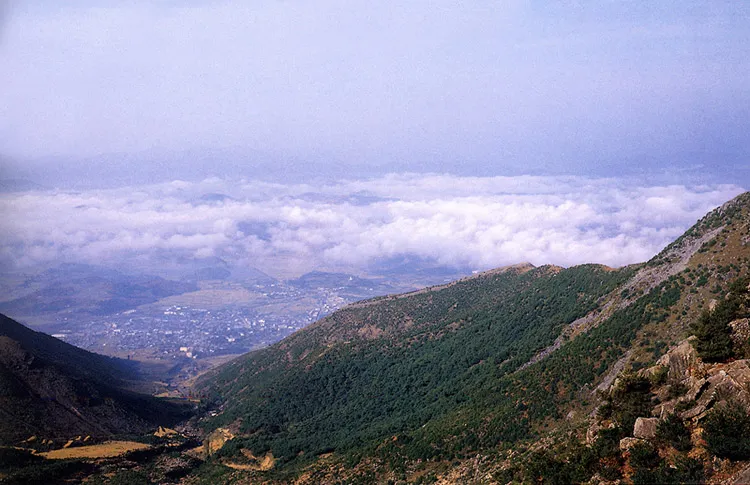
A typical hillside stone fortress, Mongmasanseong is located over a ravine at the end of the northern branch of Hwawangsan Mountain in the east of Changnyeong. It is not clear when the fortress was constructed, but it already existed when King Jinheung of Silla (57 B.C.-A.D. 935) conquered the Gaya Dynasty (42-532). Thus, it is believed to have been constructed sometime during the Gaya Dynasty. A group of ancient Gaya tombs are in this area. It was renovated and used during the Japanese Invasion (1592-98) by General Gwak Jae-u, The approximately 1.9 kilometer-long stonewall is comparatively intact, following the general structure of fortresses in the Three Kingdoms Period (76 B.C.-A.D. 668). Considering its front side is toward the entrance of the valley, the major role of this fortress was probably the defense of the path. The name of the fortress, Mongmasanseong, was possibly derived from its usage as the place for raising horses. The fortress, spanning the northern peak of Hwawangsan Mountain to the western hills and a ravine, is the representative of the type that is built in the middle part of a mountain to defend it. It is similar in its size to the nearby fortress, Hwawangsanseong, but the differentiation in their styles is a good item for comparing the styles in the same area.
Location
지도를 불러오는 중…
Have you visited this place?
Log in and verify your visit on-site via GPS to record a stamp in My Journey. (QR verification coming later.)
Images: KOGL (khs.go.kr) · Data source: Korea Heritage Service Open API (khs.go.kr)