Bunsanseong Fortress, Gimhae
金海 盆山城
경상남도 김해시
Basic information
- Designation
- Historic Site No.66
- Category
- Sites & Pagodas
- Era
- 삼국시대
- Designated year
- 1963
- Location
- 김해시, 경상남도— 경남 김해시 가야로405번안길 210-162 (어방동)
- Coordinates
- 35.245100, 128.893100
AI Docent
Coming soonAn AI-generated, friendly retelling of this heritage site is available in Korean. An English version is on our roadmap — for now, please see the official description below.
Description
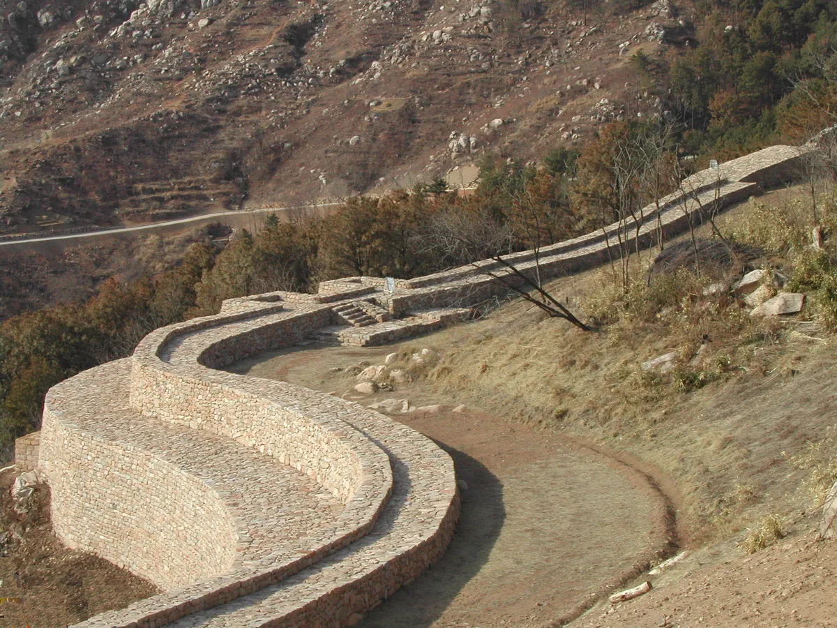
The wide area near the low stream of Nakdonggang River can be viewed from this stone fortress. It is not clear when the fortress was constructed, but it is assumed to have been built sometime during the Gaya Dynasty (42-532). In the early years of Joseon (1392-1910), General Bak Wi reconstructed the fortress on the remains of an ancient fort to defend against Japanese pirates. Severely destroyed during the Japanese Invasion (1592-98), it was extensively repaired in 1871, the eighth year of the reign of King Gojong (1863-1907). This fortress was built on top of a 330-meter-high hill to take advantage of the rugged terrain. The stonewall encircling the upper part of the hill has some characteristics of the fortresses of the Three Kingdoms Period (37 B.C.-A.D. 668), suggestsing that the original fort may have been built during that period. Within the wall, there are a well, a hermitage, and several houses. Three monuments are on the peak of the mountain. A group of ancient Gaya tombs and Gujibong Peak, a place related to the foundation tale of Gaya, can also be found in this area.
Location
지도를 불러오는 중…
Have you visited this place?
Log in and verify your visit on-site via GPS to record a stamp in My Journey. (QR verification coming later.)
Images: KOGL (khs.go.kr) · Data source: Korea Heritage Service Open API (khs.go.kr)