Seokseongsanseong Fortress, Buyeo
扶餘 石城山城
충청남도 부여군
Basic information
- Designation
- Historic Site No.89
- Category
- Sites & Pagodas
- Era
- 삼국시대
- Designated year
- 1963
- Location
- 부여군, 충청남도— 충남 부여군 석성면 현내리 산83번지
- Coordinates
- 36.239202, 126.978900
AI Docent
Coming soonAn AI-generated, friendly retelling of this heritage site is available in Korean. An English version is on our roadmap — for now, please see the official description below.
Description
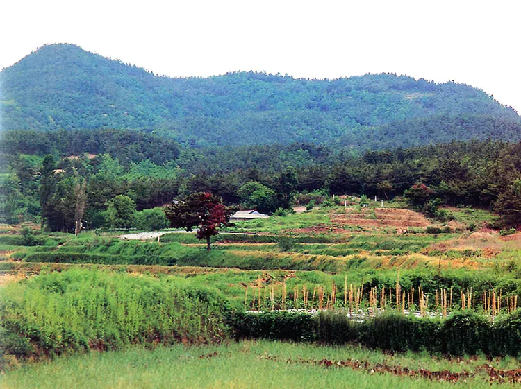
This is the fortress wall to protect the southern outer wall of Sabi, the capital of Baekje, connecting to the fortress wall of Hwangsanseong of Yeonsan, the fortress wall of Noseongsanseong of Noseong, the fortress wall of Seongheungsanseong opposite of Geumgang River, and the fortress wall of Geumseongsanseong backward. This is a complicated fortress wall piled up along the two valleys outside the wall after building the inner wall. At present, the site of the wall gate, the gate for a streamlet to run below the wall gate, the site of a well, and the site of a building remain at present. It was built in the first half of the 6th century, with its circumference of about 1600m, the width of around 5m, and height about of approximately 4m. The outside was piled up with stone, whereas the inside seems to have been made like a ditch in digging out earth. Today, the wall is broken down. The pathway for water to run, which was set up at the entrance of the valley for the wall to pass through, was also destroyed. Thus, the original form cannot be identified. Moreover, that the part equivalent to the right pathway was piled up at a height of 3-4m, presumably in order to be connected to the wall on both sides. Lots of pieces of pottery and tiles were scattered in the ridge of the mountain within the wall, which is assumed to be a site of building site. After the wall of Sabi fell to T'ang, the war between Tang and the restoration army of the Baekje and the Silla was fierce. As such, this is a place of a historical value.
Location
지도를 불러오는 중…
Have you visited this place?
Log in and verify your visit on-site via GPS to record a stamp in My Journey. (QR verification coming later.)
Images: KOGL (khs.go.kr) · Data source: Korea Heritage Service Open API (khs.go.kr)