Deokpojin Fort, Gimpo
金浦 德浦鎭
경기도 김포시
Basic information
- Designation
- Historic Site No.292
- Category
- Sites & Pagodas
- Era
- 조선시대 후기(선조朝)
- Designated year
- 1981
- Location
- 김포시, 경기도— 경기 김포시 대곶면 신안리 산103-1번지
- Coordinates
- 37.650567, 126.536283
AI Docent
Coming soonAn AI-generated, friendly retelling of this heritage site is available in Korean. An English version is on our roadmap — for now, please see the official description below.
Description
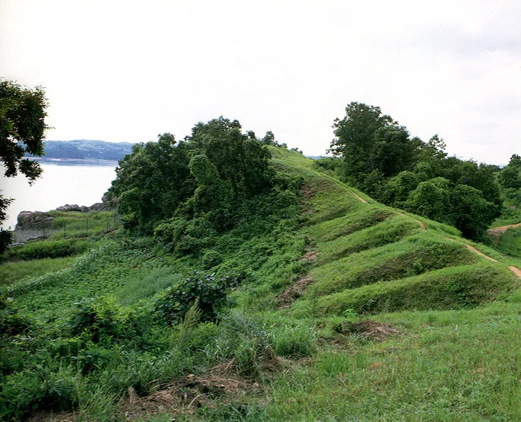
This was an encampment and a strategic point standing on the waterway to Seoul in the Joseon Dynasty. It is uncertain when it was set up, but it became a subject to Ganghwado Island in 1666, the 7th year of the rule of King Hyeonjong of the Joseon Dynasty. The fort has the batteries of cannons, and the Pasucheong, which was in command of artillery and kept the live coal needed for firing cannons. The mounded battery was located in a strategically important position and the troops stationed there took part in engagements with the French fleet in the French invasion of Ganghwa in 1866, and with the U.S. fleet in the American Expedition of 1871. Seven cannon balls and two Sangpyeongtongbo (coins cast in 1633 and circulated for 200 years), and also a foundation stone and a brazier spot were discovered in a 1980 excavation.
Location
지도를 불러오는 중…
Have you visited this place?
Log in and verify your visit on-site via GPS to record a stamp in My Journey. (QR verification coming later.)
Images: KOGL (khs.go.kr) · Data source: Korea Heritage Service Open API (khs.go.kr)