Archaeological Site in Geomdan-ri, Ulju
蔚州 檢丹里 遺蹟
울산광역시 울주군
Basic information
- Designation
- Historic Site No.332
- Category
- Architecture
- Designated year
- 1990
- Location
- 울주군, 울산광역시— 울산 울주군 웅촌면 검단리 산62번지 외
- Coordinates
- 35.448438, 129.181719
AI Docent
Coming soonAn AI-generated, friendly retelling of this heritage site is available in Korean. An English version is on our roadmap — for now, please see the official description below.
Description
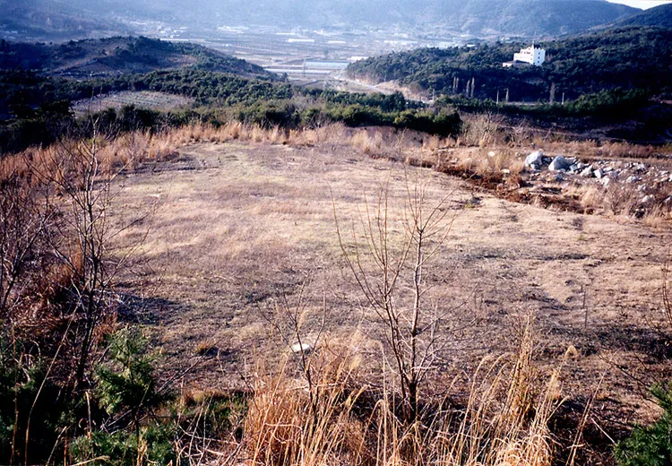
This archaeological site is located on the incline of a low hill in a large-scale village spot from the Bronze Age. A pond was dug around the village and was used as a compass for the village for the first time in Korea. V-shaped, the pond is 300m long, 50~200cm wide, and 20~150cm deep, although it appears to have been much deeper in the past. A house lot and a pit dwelling were identified, yielding about 400 types of remains including various earthenware pieces, stoneware, spinning wheels, etc. Based on what can be gleaned from the concept of the pond and the various remains, it is important to investigate the lifestyle and concept of the village during this time period aside from studying the Bronze Age.
Location
지도를 불러오는 중…
Have you visited this place?
Log in and verify your visit on-site via GPS to record a stamp in My Journey. (QR verification coming later.)
Images: KOGL (khs.go.kr) · Data source: Korea Heritage Service Open API (khs.go.kr)