Mireuksanseong Fortress, Goesan
槐山 彌勒山城
충청북도 괴산군
Basic information
- Designation
- Historic Site No.401
- Category
- Sites & Pagodas
- Era
- 고려시대
- Designated year
- 1997
- Location
- 괴산군, 충청북도— 충북 괴산군 청천면 고성리 산8-37번지 외
- Coordinates
- 36.646485, 127.816589
AI Docent
Coming soonAn AI-generated, friendly retelling of this heritage site is available in Korean. An English version is on our roadmap — for now, please see the official description below.
Description
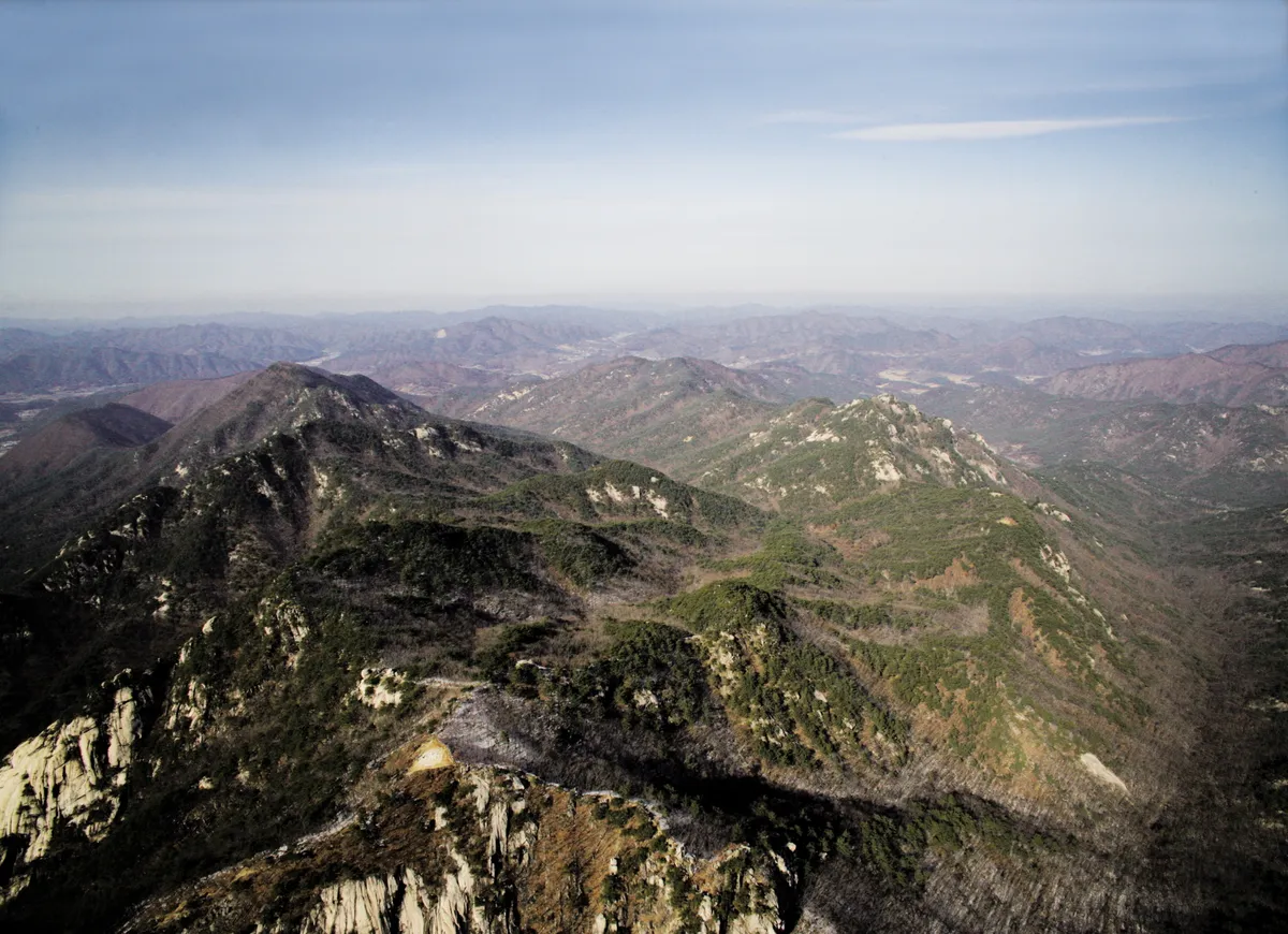
These are the remains of a fortress surrounding the mid-slope of Domyeongsan Mountain, which is 3km east of Nagyeongsan Mountain and Seongam Village and 2km south of Hwayang-dong. This fortress was once called “Domyeongsanseong Fortress.” Since the fortress has completely caved in, there is no way of knowing its original shape. With all the historic evidences that have been found with regard to the fortress, we could assume that the stone wall of the fortress was nearly 700m long and 2m tall. Fragments of earthenware from the Silla Dynasty and broken roof tiles from the Goryeo Dynasty have been found here. Broken porcelain and earthenware, stone mortar, and grindstone have also been excavated here. With all these excavations, the fortress was believed to have been built during the Goryeo Dynasty. The center and outside parts of the fortress have been partially preserved. The fortress is unique since it was originally built by four different construction methods. On the rock at the highest point within the fortress is a rock-carved Buddha. There are also the remains of an old gate, eight buildings, four wells, and the ancient remains of a floodgate used to make water flow into the fortress.
Location
지도를 불러오는 중…
Have you visited this place?
Log in and verify your visit on-site via GPS to record a stamp in My Journey. (QR verification coming later.)
Images: KOGL (khs.go.kr) · Data source: Korea Heritage Service Open API (khs.go.kr)