Hadongeupseong Walled Town
河東邑城
경상남도 하동군
Basic information
- Designation
- Historic Site No.453
- Category
- Sites & Pagodas
- Era
- 태종 17년(1417)
- Designated year
- 2004
- Location
- 하동군, 경상남도— 경남 하동군 고전면 고하리 산151번지 일원
- Coordinates
- 35.027900, 127.830874
AI Docent
Coming soonAn AI-generated, friendly retelling of this heritage site is available in Korean. An English version is on our roadmap — for now, please see the official description below.
Description
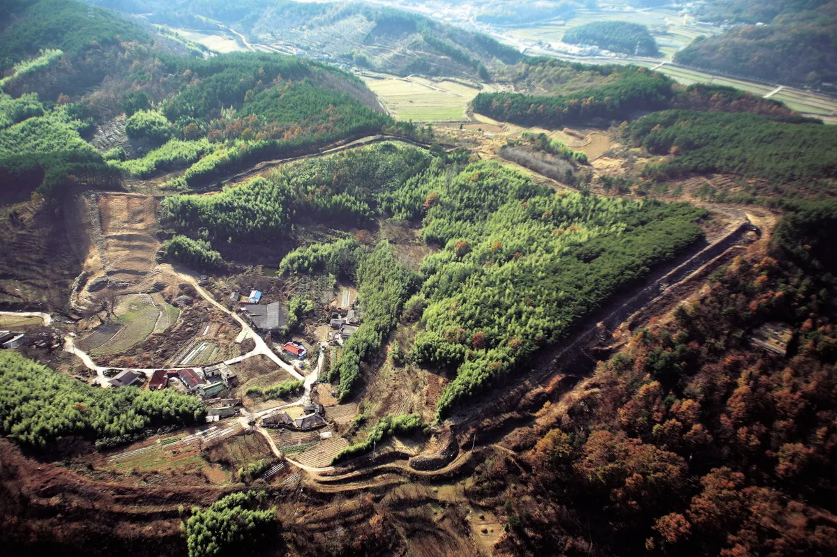
Hadongeupseong is an early Joseon town fortress built in 1417 (17th year of the reign of King Taejong) and is a typical example of a coastal fortress of the early Joseon Dynasty. Also called Gohyeonseong, it is located on Yanggyeongsan Mountain (149m). Built around a valley, it is an important facility in studying the construction method of coastal fortresses. Unlike most city and flat-land or fortress systems, it was much like a fortress but one that shows evidence of various types of construction methods from when the fortress was first constructed to the parts built in the days of King Sejong of the Joseon Dynasty. This makes it a very important relic in the history of fortress construction. Goha-ri in Gojeon-myeon, where Hadongeupseong is located, is assumed to have belonged to the Nangno Kingdom, one of the 12 kingdoms during the Three Han Period. It later became part of the Gaya Kingdom as well; because it was in a position that enabled foreign contact, it was the site of fierce battles with Baekje. After the fall of Gaya, the area was occupied by Baekje forces and named Dasaseong. After Silla unified the Three Kingdoms, however, it was called Handasagun, serving as the site of the local government office all the way up to the Joseon Dynasty. The fortress fell in 1593 during the Japanese invasions, under attack by armies led by Kato Kiyomasa. The guesthouses, government offices, and Confucian school were burned down; the government office was moved to Naegi-dong in Hoengpochon in 1661 but was moved back inside the fortress in 1667. In 1703, however, the town was moved to Jindap-myeon, U-dong (Uchi-dong, Bipa-ri). According to the Sinjeung dongguk yeoji seungnam (New Augmented Survey of the Geography of Korea), the fortress has circumference of 1,019 cheok (approx. 308m) and height of 13 cheok (approx. 3.9m); inside the fortress were five wells and a pond. According to Joseon wangjo sillok (Annals of the Joseon Dynasty), although the fortress was high, it was a little confined; it had a fence 3 cheok high (90.9cm, 1 cheok=303.3cm), 11 protruding defensive walls, and 3 barbicans, and it was hard to defend in times of war. Records from the time of King Munjong state that the fortress had circumference of 2,943 cheok, the walls were 8 cheok high on the flat land parts and 7 cheok high in steep places, the 588 fences were 3 cheok high, there were 11 protruding defensive walls and 3 barbicans around the gates as well as 5 springs and 1 pond inside, and no moat was built at the time. The fortress is surrounded by mountains 150-300m high and ridges less than 50m high, stretching out to the east or southeast. There was a small valley inside the walls, and most of the water was concentrated around the south gate on the southwestern side, flowing to the east. The land was such that the water was discharged in the southwestern direction. The remaining walls have circumference of 1,400m and width of 4.5m in general as well as height of 5.2m at the highest part. The sites of gates surrounded by semi-circular bastion walls are in the middle of the east, west, and south walls, with square bastions to the left and right and at the corners of the fortress. Outside the walls were a moat and a low mound.
Location
지도를 불러오는 중…
Have you visited this place?
Log in and verify your visit on-site via GPS to record a stamp in My Journey. (QR verification coming later.)
Images: KOGL (khs.go.kr) · Data source: Korea Heritage Service Open API (khs.go.kr)