Archaeological Site in Bongnyong-dong, Sangju
尙州 伏龍洞 遺蹟
경상북도 상주시
Basic information
- Designation
- Historic Site No.477
- Category
- 유적지
- Designated year
- 2007
- Location
- 상주시, 경상북도— 경북 상주시 복룡동 230-3번지 일원
- Coordinates
- 36.418920, 128.170128
AI Docent
Coming soonAn AI-generated, friendly retelling of this heritage site is available in Korean. An English version is on our roadmap — for now, please see the official description below.
Description
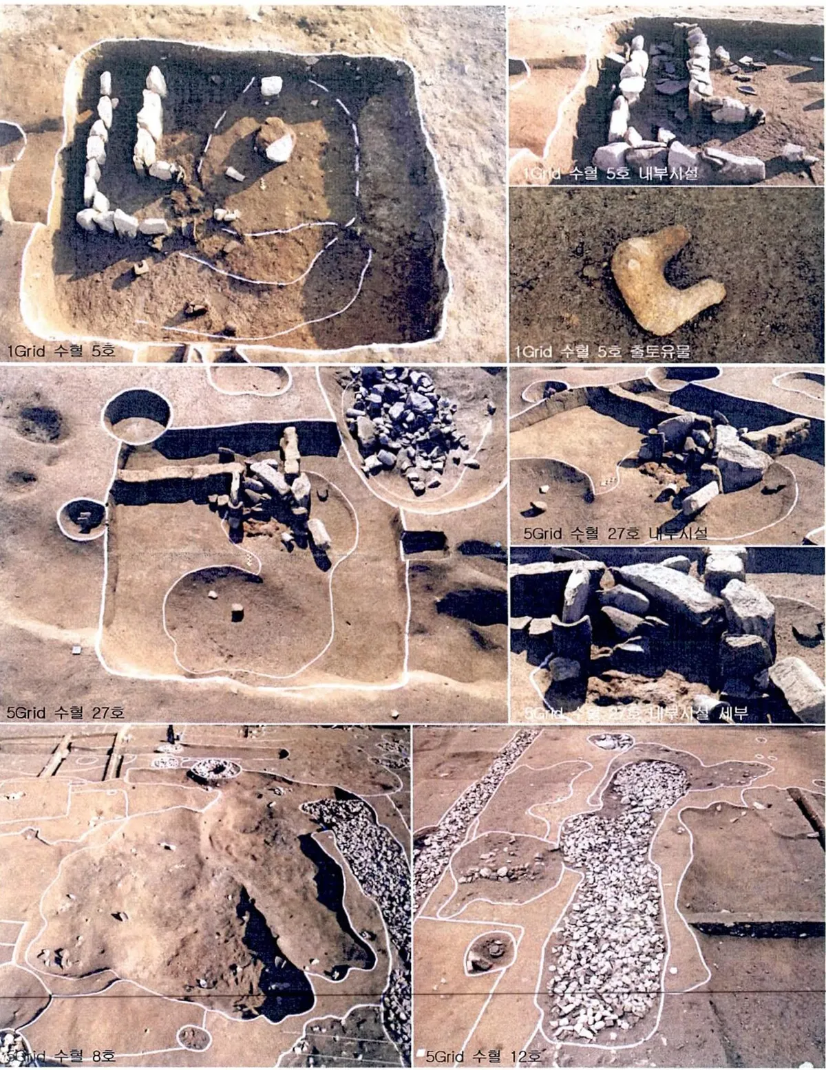
The many relics from the Unified Silla (676-935) and Joseon (1392-1910) Periods scattered around Bongnyong-dong are crucial to understanding the features of the ancient city of Sangju. They are valuable resources for research on the lifestyle of commoners and the culture of the region. During excavations conducted in 2004 prior to a development project by the Korea National Housing Corporation, diverse remains including the sites of ponds and buildings, and pits and ditches were found along with stoneware and porcelain vessels, roof tiles, and bricks. Relics such as the sites of buildings and wells in particular shed light on the lifestyle of commoners who lived outside the eastern town walls of Sangju, while the ditches that coincide with roads that crossed the old town from east to west are valuable materials for the study of ancient town planning. According to Samguk sagi (History of the Three Kingdoms), Sangju had been the base of a small state named Sabeol before it was subjugated to Silla in 249. When Silla divided its territory into nine provinces in 687 following its unification of the Three Kingdoms, it became the center of Sabeol-ju, or Sabeol Province. It was renamed Sangju during the reign of King Taejo (r.918-943), the founding monarch of the Goryeo Dynasty. In 983 it became the administrative headquarters of Sangju-mok, one of Goryeo’s twelve provinces.
Location
지도를 불러오는 중…
Have you visited this place?
Log in and verify your visit on-site via GPS to record a stamp in My Journey. (QR verification coming later.)
Images: KOGL (khs.go.kr) · Data source: Korea Heritage Service Open API (khs.go.kr)