Marosanseong Fortress, Gwangyang
光陽 馬老山城
전라남도 광양시
Basic information
- Designation
- Historic Site No.492
- Category
- Sites & Pagodas
- Designated year
- 2007
- Location
- 광양시, 전라남도— 전남 광양시 광양읍 용강리 산78번지 외 1
- Coordinates
- 34.966670, 127.616548
AI Docent
Coming soonAn AI-generated, friendly retelling of this heritage site is available in Korean. An English version is on our roadmap — for now, please see the official description below.
Description
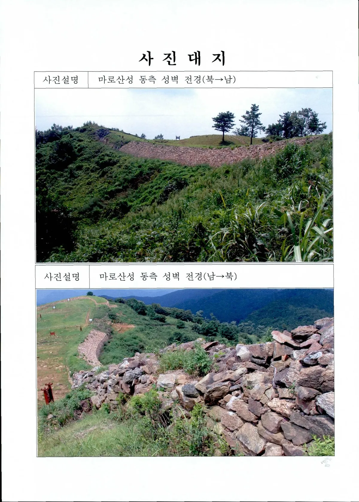
This fortress was built in the early sixth century in the Baekje Kingdom (18 B.C. - A.D. 660) and remained in use during Unified Silla (676-935) until the ninth century. The fortress walls are well preserved. Roof tiles with inscriptions supporting the pertinent records in Samguk sagi (History of the Three Kingdoms) were found during the excavations. Five excavations unearthed an array of underground remains and artifacts characteristic of the fortresses built by Baekje during its late years along the eastern border, currently in Jeollanam-do Province. They include seventeen building sites, three gate sites, two wells, five stone reservoirs, six clay reservoirs, three terraced lands, three floodgates and some thirty pits. A variety of artifacts including roof tiles, earthenware, iron ware and bronze ware were also unearthed at the site. The underground remains and artifacts provide valuable information for the study of ancient Korean fortresses and the lifestyle of that time.
Location
지도를 불러오는 중…
Have you visited this place?
Log in and verify your visit on-site via GPS to record a stamp in My Journey. (QR verification coming later.)
Images: KOGL (khs.go.kr) · Data source: Korea Heritage Service Open API (khs.go.kr)