Gyeseong Tumuli, Changnyeong
昌寧 桂城 古墳群
경상남도 창녕군
Basic information
- Designation
- Historic Site No.547
- Category
- 유적지
- Designated year
- 2019
- Location
- 창녕군, 경상남도— 경상남도 창녕군 계성면 계성리 368 외
- Coordinates
- 35.478879, 128.507374
AI Docent
Coming soonAn AI-generated, friendly retelling of this heritage site is available in Korean. An English version is on our roadmap — for now, please see the official description below.
Description
Machine-translatedThis English description was machine-translated and may contain inaccuracies. Refer to the original Korean text for details.
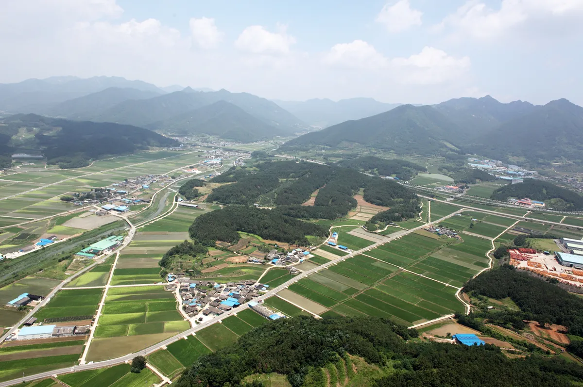
The Changnyeong Gyeseong Burial Mound Group is a large-scale burial mound cluster distributed across the sloping faces of a ridge extending westward from Yeongchuk Mountain, with 261 mounds distributed across multiple ridge lines, including five large burial mounds exceeding 30 meters in diameter at the summit. Following documentation of the mound distribution in 1917, five successive excavation surveys were conducted. The excavations revealed that pit-style stone-cist graves were covered with wooden lids at their stone casket chambers. Distinctive Changnyeong-style pottery, personal ornaments, horse furnishings, and weapons were excavated in significant quantities. The Changnyeong Gyeseong Burial Mound Group was constructed over the 5th to 7th centuries, and the transformation in construction methods from large burial mounds with pit-style stone-cist graves to horizontal-entrance stone chamber tombs appears as a progression from west to east, recognized as an important archaeological record demonstrating the establishment, development, and decline of Gaya in the Changnyeong region.
Location
지도를 불러오는 중…
Have you visited this place?
Log in and verify your visit on-site via GPS to record a stamp in My Journey. (QR verification coming later.)
Images: KOGL (khs.go.kr) · Data source: Korea Heritage Service Open API (khs.go.kr)