Chimryeong Mountain Fortress, Jangsu
長水 砧嶺山城
전북특별자치도 장수군
Basic information
- Designation
- Historic Site No.571
- Category
- Sites & Pagodas
- Era
- 삼국시대-고려
- Designated year
- 2023
- Location
- 장수군, 전북특별자치도— 전라북도 장수군 계남면 침곡리 1090-1
- Coordinates
- 35.728318, 127.555238Kakao address conversion
AI Docent
Coming soonAn AI-generated, friendly retelling of this heritage site is available in Korean. An English version is on our roadmap — for now, please see the official description below.
Description
Machine-translatedThis English description was machine-translated and may contain inaccuracies. Refer to the original Korean text for details.
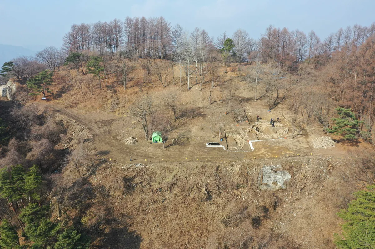
Jangsu Chimryeong Fortress is a mountain fortress with a circumference of 497 meters constructed by Baekje in the early 7th century and used through the early Goryeo period, strategically positioned in the border region between Silla forces in the Nakdong River valley and Baekje forces in the Geum River valley. Since 2005 preliminary surface survey and five excavation surveys from 2014 to 2020, various structures including water collection facilities, building sites, fortress bastions, and gates, along with artifacts, have been discovered. The three water collection facilities discovered within the fortress demonstrate sophisticated construction techniques with considerable scale, allowing understanding of ancient water collection facility construction technology. Chimryeong Fortress represents a historical location of intense conflict between ancient Korean kingdoms from the Three Kingdoms period through early Goryeo, and through unearthed artifacts demonstrating changes in political authority, it is evaluated as a cultural heritage possessing outstanding scholarly and historical value.
Location
지도를 불러오는 중…
Have you visited this place?
Log in and verify your visit on-site via GPS to record a stamp in My Journey. (QR verification coming later.)
Images: KOGL (khs.go.kr) · Data source: Korea Heritage Service Open API (khs.go.kr)