Ordovician Deposits and Topography of Stream Erosion of Gumunso, Taebaek
太白 求門沼 오르도비스紀 地層과 第四紀 河蝕地形
강원특별자치도 태백시
Basic information
- Designation
- Natural Monument No.417
- Category
- 자연지형
- Era
- 고생대
- Designated year
- 2000
- Location
- 태백시, 강원특별자치도— 강원특별자치도 태백시 동점동 산 10-1 등
- Coordinates
- 37.094704, 129.039111
AI Docent
Coming soonAn AI-generated, friendly retelling of this heritage site is available in Korean. An English version is on our roadmap — for now, please see the official description below.
Description
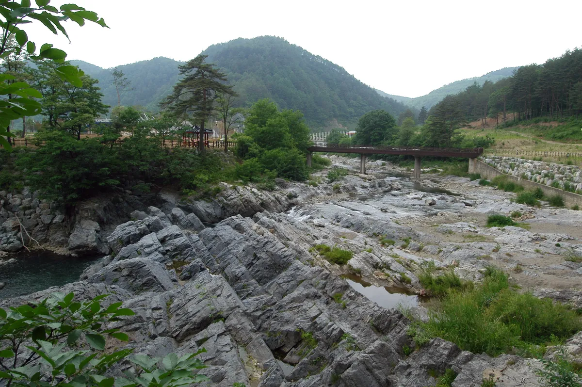
Gumunso means a marsh with a grotto. This place lies in the middle of the waterway at the mouth of Hwangjicheon Stream. Limestone near Gumunso shows an accumulation structure and contains fossils of various organisms. Accordingly, this place shows the accumulation environment and biota in the latter part of the Paleozoic era. The waterway in the lower part of Hwangjicheon Stream, the waterway passing through the cave, is very valuable for studying the change of the waterway of a stream along with Hyeonnaecheon Stream. The accumulation environment and geological characteristics in Gumunso are very important for studying the ancient environment in the latter part of the Paleozoic era and are very valuable academically. Therefore, Gumunso and its topographic environment are designated and protected as a Natural Monument.
Location
지도를 불러오는 중…
Have you visited this place?
Log in and verify your visit on-site via GPS to record a stamp in My Journey. (QR verification coming later.)
Images: KOGL (khs.go.kr) · Data source: Korea Heritage Service Open API (khs.go.kr)