Coastal Dune in Sindu-ri, Taean
泰安 薪斗里 海岸砂丘
충청남도 태안군
Basic information
- Designation
- Natural Monument No.431
- Category
- 자연지형
- Designated year
- 2001
- Location
- 태안군, 충청남도— 충청남도 태안군 원북면 신두리 산 263-1 등
- Coordinates
- 36.842864, 126.193161
AI Docent
Coming soonAn AI-generated, friendly retelling of this heritage site is available in Korean. An English version is on our roadmap — for now, please see the official description below.
Description
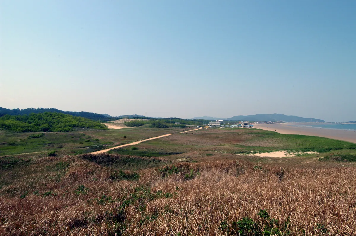
A coastal dune is formed with sand carried by ocean currents to the beach and stuck on the shore by the wind. The dune in Sindu-ri is formed along the northwestern coast of the Taean Peninsula, measuring 3.4km long and about 0.5-1.3km wide. It acts as a buffer zone between the land and sea and, like a desert, shows ripples in the sand caused by the wind. The Sindu-ri dune is located behind the beach of the Sindu-ri arm of the sea. The conditions are favorable for the formation of dunes since the area is exposed to the prevailing northwestern wind in winter; since the nearby area is mostly composed of sand, the wide tidal flat and shore are exposed at low tide, allowing the wind to carry the sand to the land. The sand dune clearly shows the development of a varied topography including the fore dunes, dune wetland, and barchans, which are arc-shaped sand ridges. The Sindu-ri coastal dune is a feature of the sedimentary topography of the seashore. It is well-preserved, serving as valuable material for the study of sand dune formation and the paleoenvironment as Korea’s largest sand dune of its kind.
Location
지도를 불러오는 중…
Have you visited this place?
Log in and verify your visit on-site via GPS to record a stamp in My Journey. (QR verification coming later.)
Images: KOGL (khs.go.kr) · Data source: Korea Heritage Service Open API (khs.go.kr)