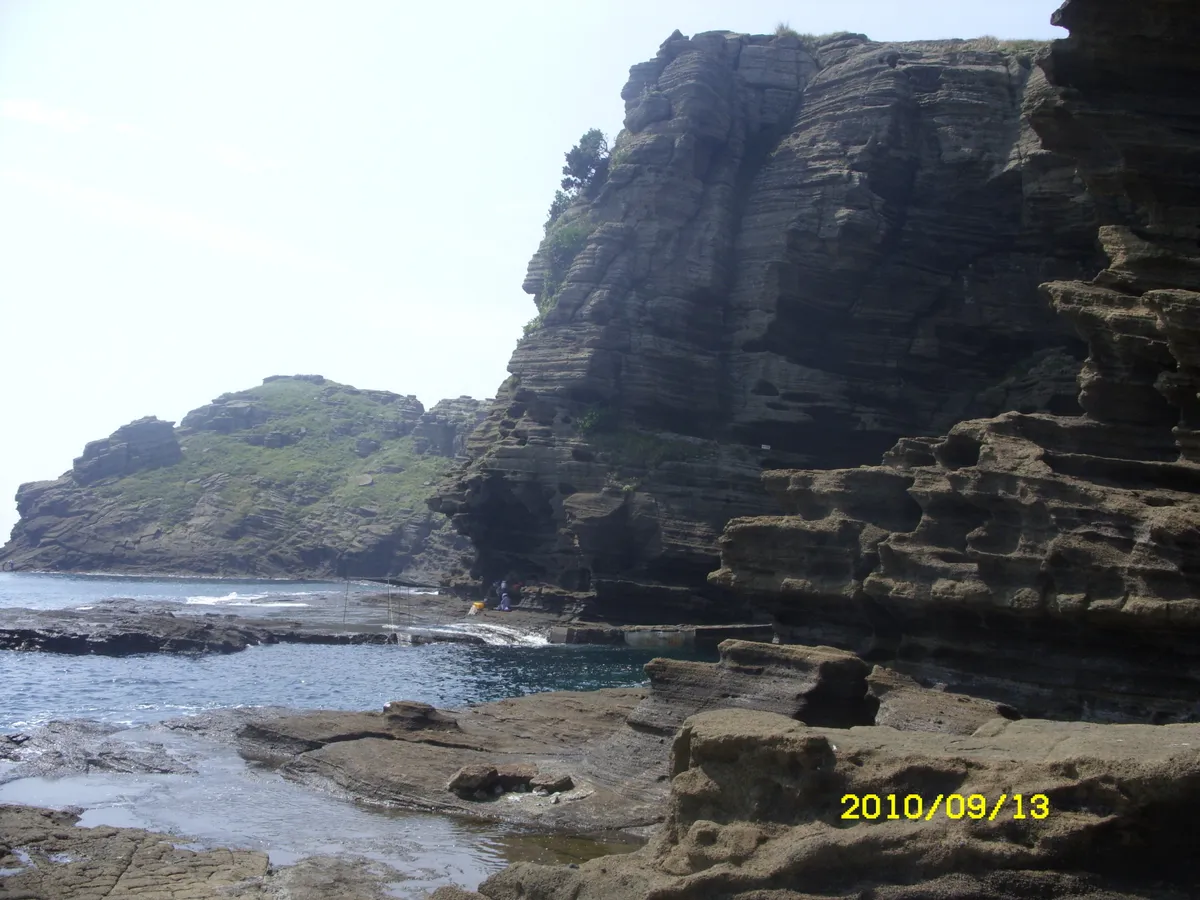
Pyroclastic Deposit on Yongmeori Coast in Sagye-ri, Jeju
濟州 沙溪里 龍머리 海岸
제주특별자치도 서귀포시
Basic information
- Designation
- Natural Monument No.526
- Category
- 자연지형
- Era
- 신생대
- Designated year
- 2011
- Location
- 서귀포시, 제주특별자치도— 제주 서귀포시 안덕면 사계남로216번길 24-32 (사계리)
- Coordinates
- 33.233659, 126.314531
AI Docent
Coming soonAn AI-generated, friendly retelling of this heritage site is available in Korean. An English version is on our roadmap — for now, please see the official description below.
Description
The Yongmeori Coastline was formed when fragmental matter erupted from three volcanic craters in under the sea. Unlike the Seongsan Ilchulbong and Suwolbong Tuff Cones, it was formed while the craters were actually moving, giving it great geographical value. It includes the largest aqueous volcanic mountain in Jeju. The cliffs along the coast, formed by sedimentation and erosion over a long period of time, are said to resemble the head of a dragon. The coast has great landscape value.
Location
지도를 불러오는 중…
Have you visited this place?
Log in and verify your visit on-site via GPS to record a stamp in My Journey. (QR verification coming later.)
Images: KOGL (khs.go.kr) · Data source: Korea Heritage Service Open API (khs.go.kr)