Cheonggudo(2008-3)
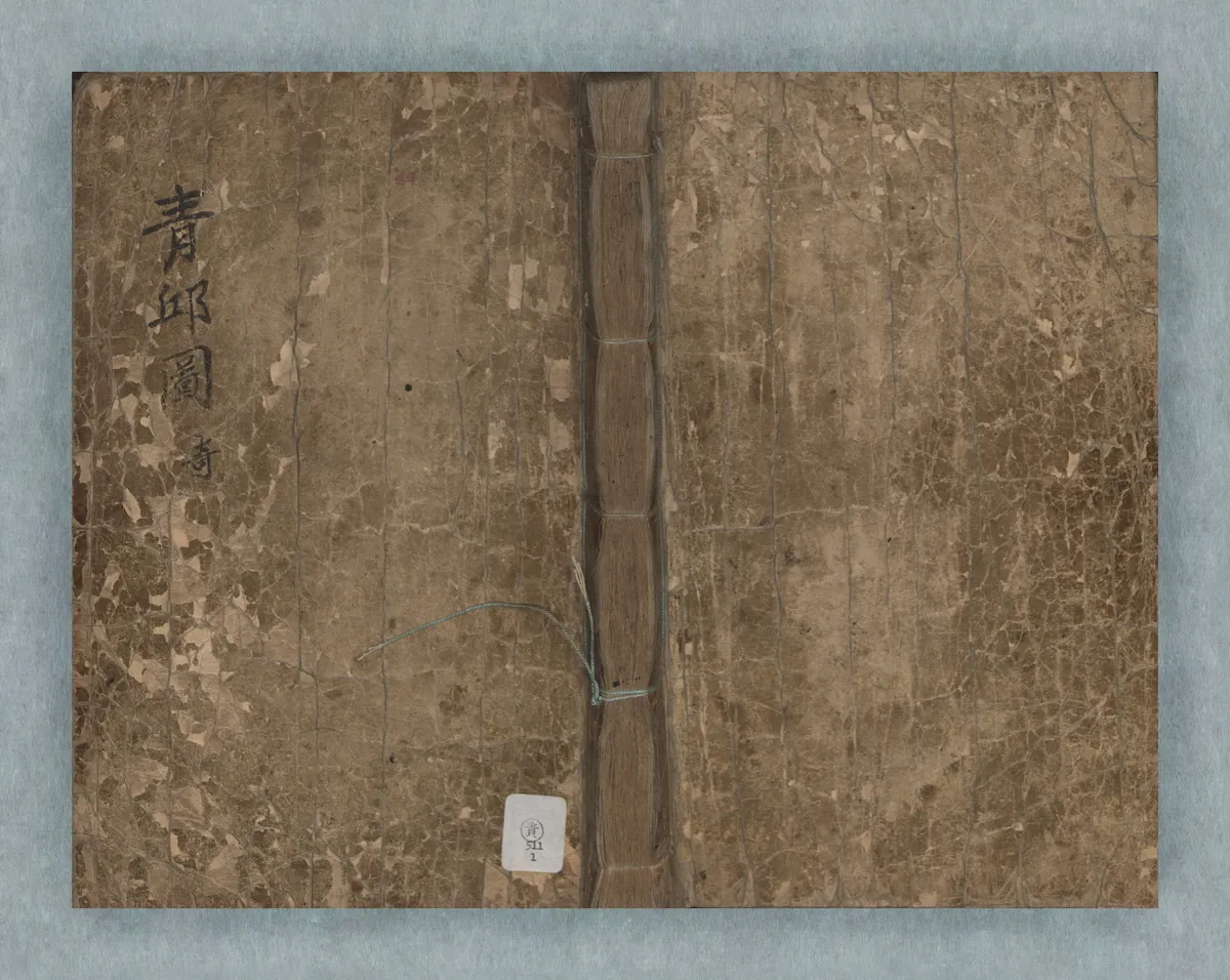
靑邱圖(2008-3)
서울특별시 성북구
Basic information
- Designation
- Treasure No.1594-3
- Category
- Craft
- Designated year
- 2009
- Location
- 성북구, 서울특별시— 서울 성북구 안암로 145, 중앙도서관 (안암동5가,고려대학교안암캠퍼스(인문사회계))
- Coordinates
- 37.589200, 127.032686
AI Docent
Coming soonAn AI-generated, friendly retelling of this heritage site is available in Korean. An English version is on our roadmap — for now, please see the official description below.
Description
With the cover title Cheonggudo, literally a “Map of the Blue Hills,” as Korea was referred to by the Chinese, this is the first general map of Korea made by Kim Jeong-ho (1804-1866), the father of Korean cartography. Kim completed this map in 1834, joining in the efforts which had been under way among local mapmakers since the late 18th century to overcome problems with conventional maps and further contributing his creative ideas. Kim tried to enhance the practical value of maps by combining geographic information that had only been recorded in gazetteers. As a result, the maps here contain historical and geographical information about individual counties such as the number of households, farmland areas, troops available for mobilization, amounts of grain collected as taxes, distance to the capital city, and sites of major historic events. This is how the map attained its unique composition as a comprehensive source of relatively detailed historical and geographical information about each region. The map housed at Korea University Library is in an excellent state of preservation and is very highly evaluated for its cartographic significance.
Location
지도를 불러오는 중…
Have you visited this place?
Log in and verify your visit on-site via GPS to record a stamp in My Journey. (QR verification coming later.)
Images: KOGL (khs.go.kr) · Data source: Korea Heritage Service Open API (khs.go.kr)