Namgoru Embankment, Gyeongju
慶州 南古壘
경상북도 경주시
Basic information
- Designation
- Historic Site No.17
- Category
- Sites & Pagodas
- Designated year
- 1963
- Location
- 경주시, 경상북도— 경북 경주시 원효로207번길 28-1, ,황남동, 인왕동,성동동 (황오동)
- Coordinates
- 35.840648, 129.220171
AI Docent
Coming soonAn AI-generated, friendly retelling of this heritage site is available in Korean. An English version is on our roadmap — for now, please see the official description below.
Description
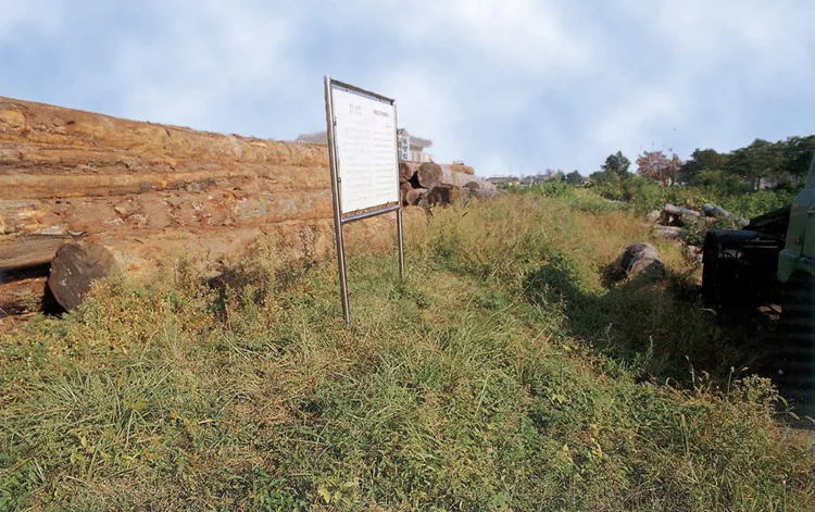
Though noticeable in only a few places, this earthen defensive embankment extends eastward from the entrance of Gyeongju's Daereungwon Ancient Tomb Site, around Ancient Tombs in Hwango-dong, and from there, northward to Bukcheon Stream. This historic site was almost destroyed. When and why it was constructed are not known for sure, but it may have been constructed during the third year of the reign of King Hyeonjong of Goryeo Dynasty (1012) since historical records show that a bank of stones was built in the northern part of Gyeongju at that time.
Location
지도를 불러오는 중…
Have you visited this place?
Log in and verify your visit on-site via GPS to record a stamp in My Journey. (QR verification coming later.)
Images: KOGL (khs.go.kr) · Data source: Korea Heritage Service Open API (khs.go.kr)