Haengjusanseong Fortress, Goyang
高陽 幸州山城
경기도 고양시
Basic information
- Designation
- Historic Site No.56
- Category
- Sites & Pagodas
- Era
- 삼국시대 ∼ 조선시대
- Designated year
- 1963
- Location
- 고양시, 경기도— 경기 고양시 덕양구 행주내동 산26번지
- Coordinates
- 37.599941, 126.824754
AI Docent
Coming soonAn AI-generated, friendly retelling of this heritage site is available in Korean. An English version is on our roadmap — for now, please see the official description below.
Description
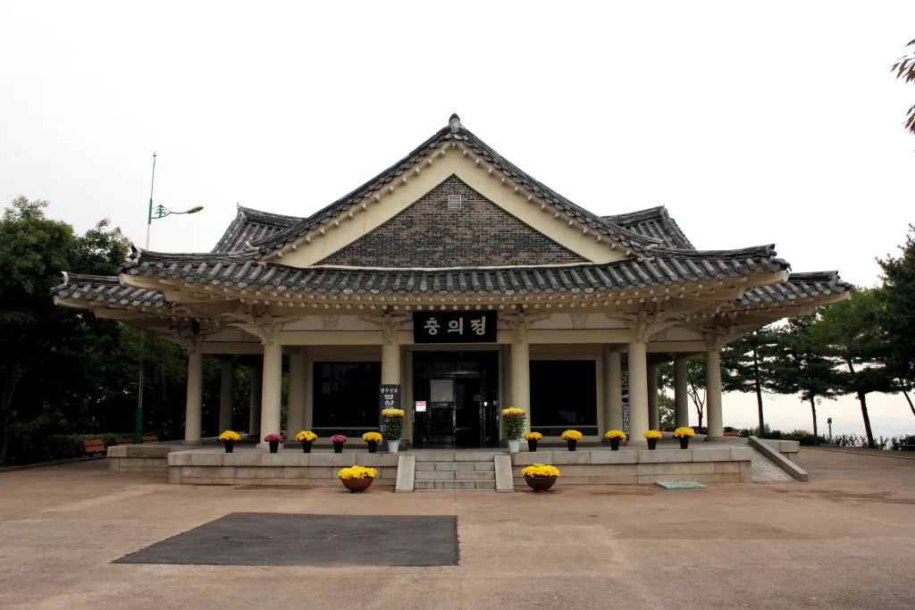
This place is well known as the battlefield of Haengjudaecheop, where General Gwon Yul led his soldiers to victory during the 1592 Japanese Aggression. The construction date of this fortress is not known, but it was built in the form of Tochuksanseong, the soil fortress dating back to the Three Dynasty Period (76 B.C.-A.D. 668). A fortified wall was constructed along the edge of the summit of a mountain, and the wall running along the four sides of the fortress has total length of about 1 kilometer. The fortress stands on a naturally fortified mountain, which has Hangang River flowing along its southern side and Changneungcheon Stream flowing along the southeastern side and meeting Hangang River. Together, they form a natural moat. In addition, the mountain has very steep slopes, making access on those sides difficult. This area was part of the early Baekje Dynasty (18 B.C.-A.D. 668) territory and was the heart of the communication between the north and the south. Within the fortress are many relics of the Unified Silla as well as pieces of earthen vessels of the Three Dynasty Period and pieces of roof tiles carved in the shape of fish bone. Meanwhile, Haengjudaecheop, one of the three biggest battles during the 1592 Japanese Aggression, scored a victory with the support of residential women who carried stones to soldiers with their skirts. To honor their contribution, the word Haengju Skirt, named after the region Haengju, was coined. A monument constructed in 1603 to commemorate the victorious battle and a temple called Chungjangsa Temple, which enshrines a portrait of the general, stand on the summit. This fortress, along with the others along Hangang River, was confirmed to have formed a defense line of strategic importance from very early on.
Location
지도를 불러오는 중…
Have you visited this place?
Log in and verify your visit on-site via GPS to record a stamp in My Journey. (QR verification coming later.)
Images: KOGL (khs.go.kr) · Data source: Korea Heritage Service Open API (khs.go.kr)