Jinjuseong Fortress
晋州城
경상남도 진주시
Basic information
- Designation
- Historic Site No.118
- Category
- Sites & Pagodas
- Era
- 조선 세종 19년(1437)
- Designated year
- 1963
- Location
- 진주시, 경상남도— 경상남도 진주시 남강로 626 (본성동, 진주성)
- Coordinates
- 35.190354, 128.080128
AI Docent
Coming soonAn AI-generated, friendly retelling of this heritage site is available in Korean. An English version is on our roadmap — for now, please see the official description below.
Description
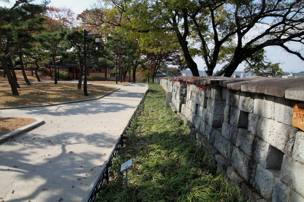
Jinju used to be a military base against the Japanese enemy in the late Goryeo Dynasty, playing a major role in preventing the enemy from going into Jeolla-do. During the Japanese Invasion in the 25th year of the reign of King Seonjo (1592), about 3800 soldiers under command of General Kim Si-min defeated about 30000 Japanese soldiers in this fortress. However, in the second Jinju Battle in 1593, about seventy thousand soldiers joined and fought the Japanese military bravely, but all died in the war. In the fortress have been many administrative offices and command centers during the Joseon Dynasty. Jinjuseong Fortress has a circumference of 1.7 kilometers. Jinju National Museum, the Alter for the spirits perished in the battle of 1592 and 1593, and Hoguksa Temple are in the fortress area.
Location
지도를 불러오는 중…
Have you visited this place?
Log in and verify your visit on-site via GPS to record a stamp in My Journey. (QR verification coming later.)
Images: KOGL (khs.go.kr) · Data source: Korea Heritage Service Open API (khs.go.kr)