Eonyangeupseong Walled Town, Ulju
蔚州 彦陽邑城
울산광역시 울주군
Basic information
- Designation
- Historic Site No.153
- Category
- Sites & Pagodas
- Era
- 조선 광해군 9년(1617)
- Designated year
- 1966
- Location
- 울주군, 울산광역시— 울산광역시 울주군 성안2길 55-8 (언양읍)
- Coordinates
- 35.569939, 129.122602
AI Docent
Coming soonAn AI-generated, friendly retelling of this heritage site is available in Korean. An English version is on our roadmap — for now, please see the official description below.
Description
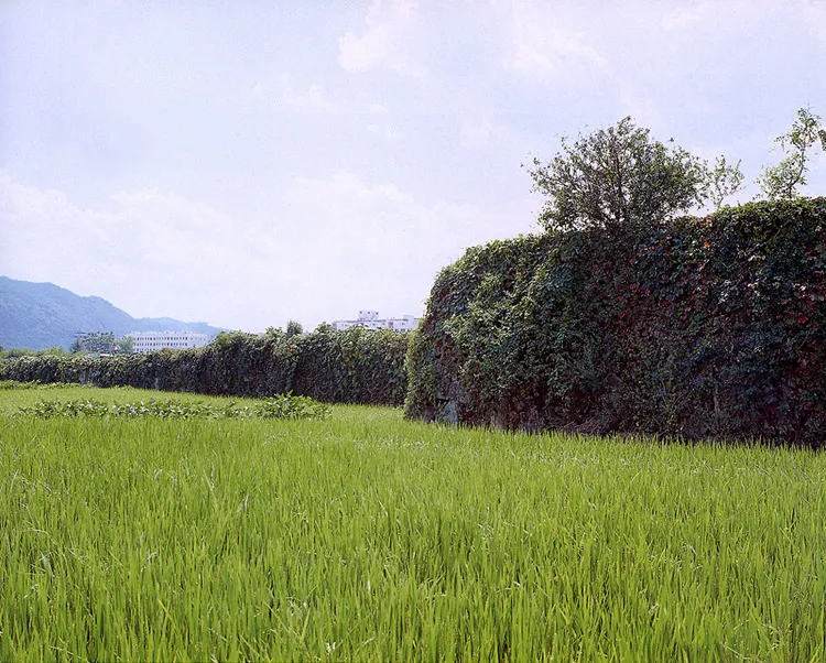
Located at the center of Eonyang-eup, this is the old fortress of Eonyang. Eonyang seems to have been a place of strategic importance because it was an important transportation route connecting several regions: Gyeongju, Ulsan, Miryang, and Yangsan. Originally made of mud, the fortress was expanded and reconstructed with stones by Governor Yi Dam-ryong in the 6th year of the reign of King Yeonsan (1500) of Joseon. Showing a rare case of a fortress built in the square style on the plain, this fortress has a four-meter-high wall with circumference of 1 kilometer and four wells inside it. Only a number of large stones remain scattered about, however. Sturdily constructed with the technique of small stones filling the gaps between the big stones, this fortress reflects the typical style for the fortress of the early Joseon (14-15C) when the main fortresses of the Joseon Dynasty were built. The fortress is important in the study of the transition of fortress construction during the late Goryeo and early Joseon dynasties.
Location
지도를 불러오는 중…
Have you visited this place?
Log in and verify your visit on-site via GPS to record a stamp in My Journey. (QR verification coming later.)
Images: KOGL (khs.go.kr) · Data source: Korea Heritage Service Open API (khs.go.kr)