Shell Mound on Yeondaedo Island, Tongyeong
統營 煙臺島 貝塚
경상남도 통영시
Basic information
- Designation
- Historic Site No.335
- Category
- 유적지
- Era
- 신석기시대
- Designated year
- 1990
- Location
- 통영시, 경상남도— 경남 통영시 산양읍 연곡리 24-17번지 외
- Coordinates
- 34.738621, 128.400976
AI Docent
Coming soonAn AI-generated, friendly retelling of this heritage site is available in Korean. An English version is on our roadmap — for now, please see the official description below.
Description
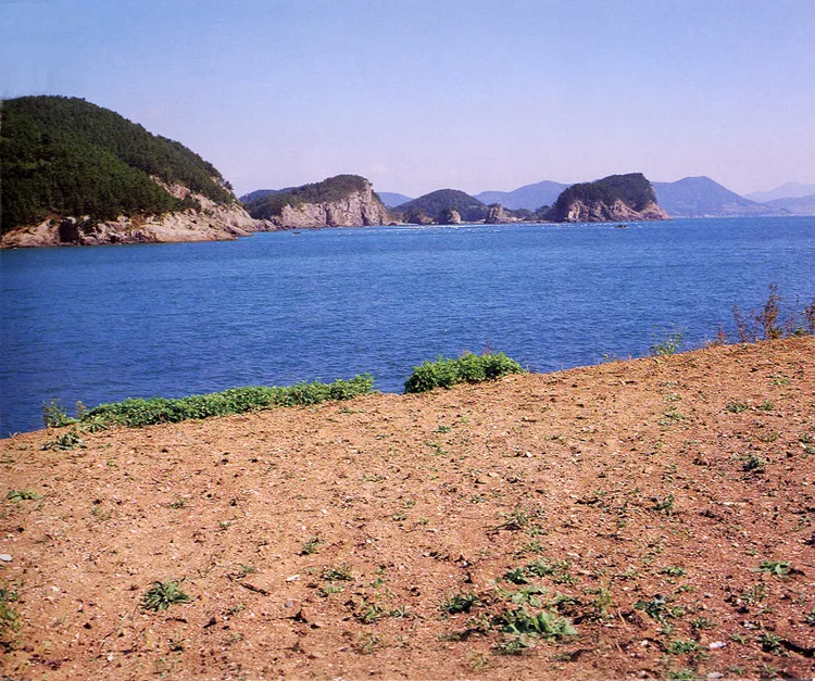
This shell mound had been formed with seashells and wastes from human beings of the Prehistoric Age, showing an aspect of life that time. This mound is spread in the form of “U” along the east-north of the fortress, with the north part continuing obliquely to the seaside and the east part forming a steep hill. So far, the layout of the land suggests that the sea level differed according to each age. The shell mound has traces in 7 layers, with the lower part from the 4th to 7th layers a cultural stratum of the New Stone Age. Seashell, black soil, gravel, earthenware, tombs, human bones, etc., were mainly excavated there, contributing to research on the human constitution and showing an aspect of life in the New Stone Age. In the upper part from the 2nd to 3rd layers, earthenware and porcelain pieces of the Joseon Dynasty, Goryeo Dynasty, and Three Kingdoms Period were excavated, showing that such ruins have highly diversified cultural layers. It is an important shell mound that enables assuming an interchange between Korea and Japan at that time because many stoneware and earthenware pieces of Japan were excavated. These ruins have sufficient significance to merit researching together with the Dongsam-dong and Sangnodaedo Island ruins on Korea’s south seaside.
Location
지도를 불러오는 중…
Have you visited this place?
Log in and verify your visit on-site via GPS to record a stamp in My Journey. (QR verification coming later.)
Images: KOGL (khs.go.kr) · Data source: Korea Heritage Service Open API (khs.go.kr)