Ancient Tomb in Hwangseong-dong, Gyeongju
慶州 隍城洞 古墳
경상북도 경주시
Basic information
- Designation
- Historic Site No.476
- Category
- 유적지
- Era
- 7세기 중반
- Designated year
- 2007
- Location
- 경주시, 경상북도— 경북 경주시 황성동 906-5번지
- Coordinates
- 35.867070, 129.211523
AI Docent
Coming soonAn AI-generated, friendly retelling of this heritage site is available in Korean. An English version is on our roadmap — for now, please see the official description below.
Description
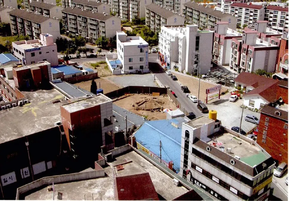
This tomb is one of the most well-known flatland burial sites in the Gyeongju area. Excavations by the Gyeongju National Research Institute of Cultural Heritage confirmed a stone chamber tomb built aboveground, covered with a mound, and surrounded with retaining stones. The stone chamber tomb contained earthenware with stamped designs and shards of Chinese celadon with halo-shaped foot, which are useful for the study of Silla earthenware as well as for dating the tomb. Historic Site No. 328, another ancient tomb in the same style, is found near Yonggang-dong. The stone chamber is accessed through an entranceway on the left side. The ceiling, presumably a lantern type forming a vault at the top, was destroyed, with only one part remaining. The rectangular chamber is 2.4 meters from north to south and 1.75 meters from east to west. The mound was made by compressing sandy soil and clay with small pebbles and coarse sand. It measures 14.1 meters from east to west and 16.4 meters from north to south. Presently, the mound is 2.0 meters high. The retaining wall has diameter of approximately 9.8 meters and height of 2.0 meters. Considering the style of stamped design on the earthenware, the tomb is assumed to have been built in the mid-seventh century. Shards of Chinese celadon with halo-shaped foot found in the entranceway indicate that an additional burial took place around the early ninth century. The tomb is important for the study of flatland stone chamber tombs and the evolution of earthenware in the Silla Period (57 BC- AD 935). Considering the fact that all other ancient burial sites previously surveyed in adjacent areas have disappeared, its preservation is of critical importance.
Location
지도를 불러오는 중…
Have you visited this place?
Log in and verify your visit on-site via GPS to record a stamp in My Journey. (QR verification coming later.)
Images: KOGL (khs.go.kr) · Data source: Korea Heritage Service Open API (khs.go.kr)