Gosaburiseong Fortress, Jeongeup
井邑 古沙夫里城
전북특별자치도 정읍시
Basic information
- Designation
- Historic Site No.494
- Category
- Sites & Pagodas
- Designated year
- 2008
- Location
- 정읍시, 전북특별자치도— 전북 정읍시 고부면 고부리 산1-1번지 일원
- Coordinates
- 35.625307, 126.770403
AI Docent
Coming soonAn AI-generated, friendly retelling of this heritage site is available in Korean. An English version is on our roadmap — for now, please see the official description below.
Description
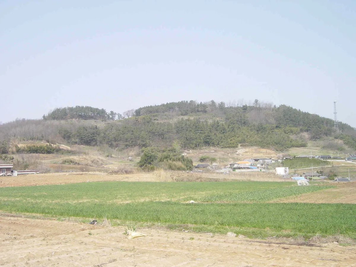
This fortress encircles the two highest peaks of Seonghwangsan Mountain, which rises 132 meters above sea level. It was first built during the Baekje Period (18 BC - AD 660), rebuilt during the Unified Silla Period (676-935), and used continuously through the Goryeo and Joseon dynasties until the county administrative seat withdrew from Jeongeup in 1765, the 41st year of the reign of King Yeongjo. The fortress walls were originally built of stone but were rebuilt with mud during the late Joseon Dynasty (1392-1910). Currently, the total length of the walls is 1,050 meters. Surface surveys and three excavations unearthed 12 Joseon Dynasty building sites, 3 gate sites, and remains of a reservoir. Many roof tiles were unearthed as well. Among them were remarkable pieces such as Baekje tiles stamped with "sangbu sanghang" (district of the capital city) and decorated with a linear carving of a mounted soldier and Unified Silla tile inscribed with "bonpigwan" (title of an official dispatched from the royal capital). The underground remains and artifacts are in good condition and are critically important materials for the study of ancient Korean fortresses.
Location
지도를 불러오는 중…
Have you visited this place?
Log in and verify your visit on-site via GPS to record a stamp in My Journey. (QR verification coming later.)
Images: KOGL (khs.go.kr) · Data source: Korea Heritage Service Open API (khs.go.kr)