Cretaceous Rain Prints in Seodong-ri, Uiryeong
宜寧 西洞里 白堊紀 빗방울자국
경상남도 의령군
Basic information
- Designation
- Natural Monument No.196
- Category
- 자연지형
- Era
- 중생대
- Designated year
- 1968
- Location
- 의령군, 경상남도— 경상남도 의령군 의령읍 서동리 316-3 등
- Coordinates
- 35.319363, 128.257718
AI Docent
Coming soonAn AI-generated, friendly retelling of this heritage site is available in Korean. An English version is on our roadmap — for now, please see the official description below.
Description
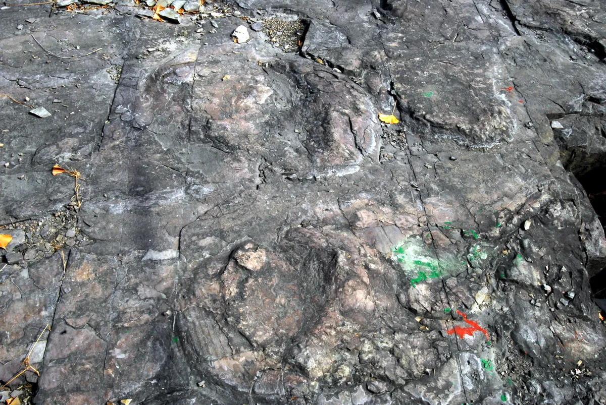
In Uiryeong is a rock beside the road, with rain prints on top. Many of these rain prints are laid upon each other. These are round, with diameter of 8-15 mm and depth of within 1 mm. This stratum with rain prints has been formed about 100 million years ago. At that time, because of a drought, the water level of the lake was so low that the soft sediment of the lake bottom was exposed. It rained hard once, and scars were left on the soft sediment when it dried again after the rain. Over time, sediments were piled up and cementation. These rain prints speak of the dry weather of those days. These are found in many places in the world but are not common, serving as historical data for natural research to analyze the environment of those days. Thus, the rock with rain prints on it is designated and conserved as a natural monument.
Location
지도를 불러오는 중…
Have you visited this place?
Log in and verify your visit on-site via GPS to record a stamp in My Journey. (QR verification coming later.)
Images: KOGL (khs.go.kr) · Data source: Korea Heritage Service Open API (khs.go.kr)